Sunday January 19, 2014
The sun was out when we got up, it had been a relatively warm evening and it looked as if it was going to be a good day. The forecast was for rain or showers and then sunny in the afternoon. The forecast was correct for a change.
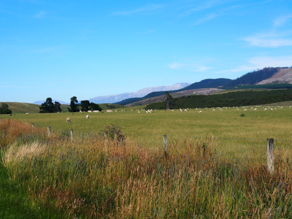
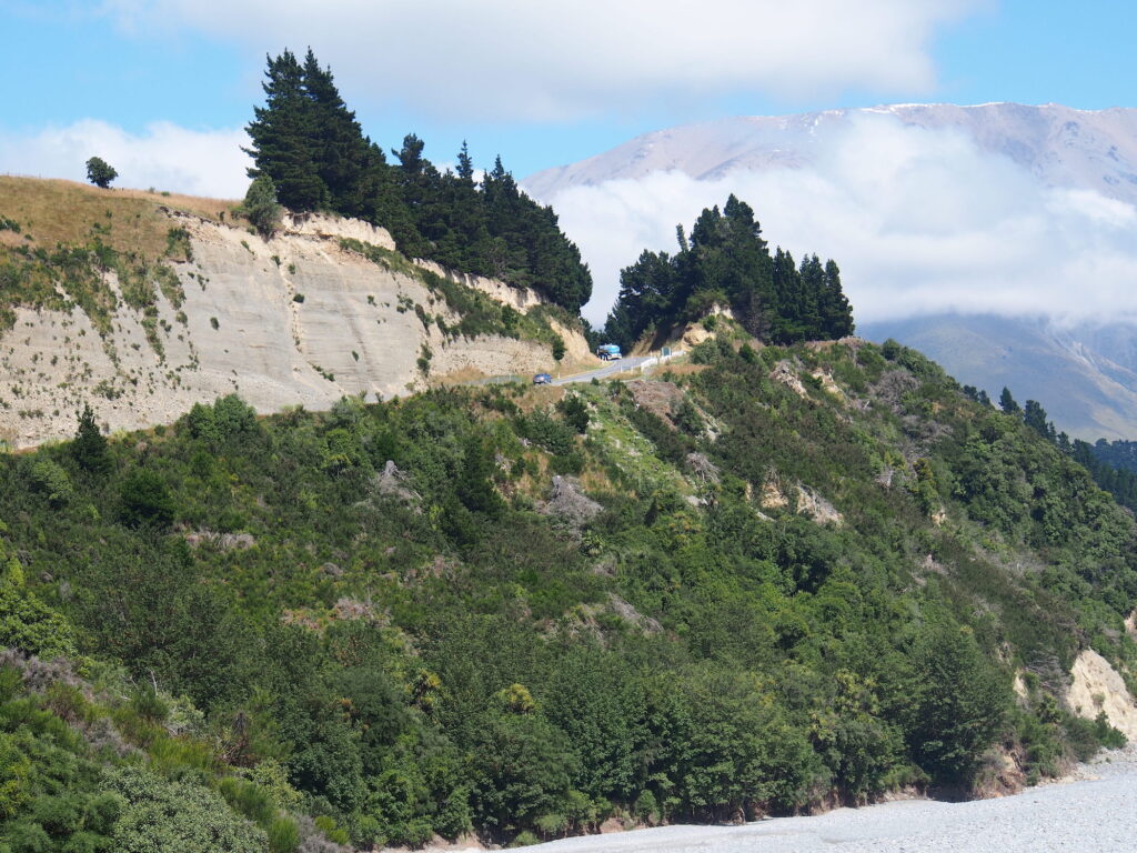
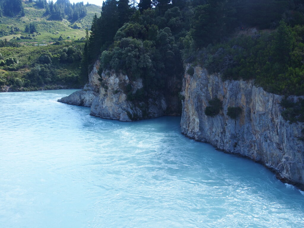
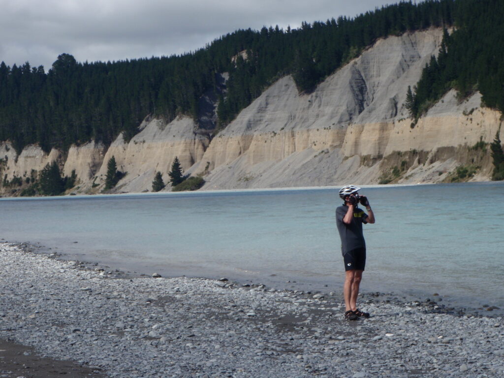
We had a great ride from Cromwell to Clyde, the start of the Central Otaga rail trail. From Cromwell to Clyde we followed Lake Dunstan and the Clutha River. We were in the valley for the most part and it was ruggedly beautiful.

We did have some minor climbs but with the wind at our backs I managed to do most of them in my big gear and only dropped down to my middle gear once.

We decided to follow the Central Otaga Rail Trail today, just to change it up a bit. We have been on roads for a while now and knowing that this trail has a good base to cycle on we thought it might make a change. There is usually plenty of information boards as you cycle along to keep it interesting.

This bridge was called Muttontown because a local farmer would sell his sheep to goldminers in the area.

You always know what the time it is in Alexandra, there is a giant clock in the hillside. We had a lovely lunch in this Town.

A kiss in Galloway. The hut was a waiting room for ladies at the Galloway station.
 We managed to keep a steady pace of about 17 kph for the first 17 kms on the trail and then once again the wind picked up and was blowing us all over the trail. At least on the trail there were no cars to be blown into.

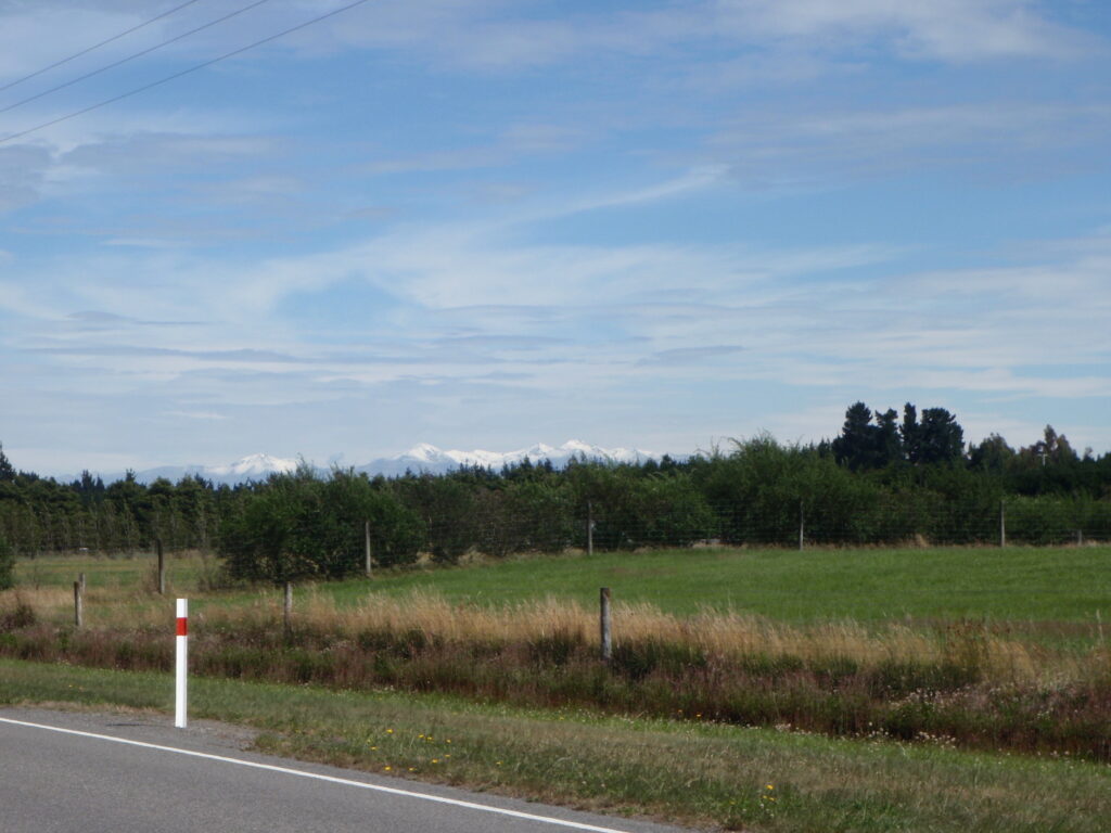
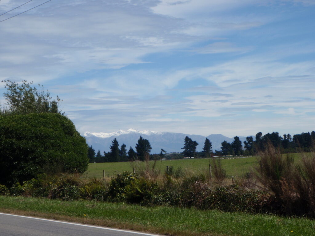
 This Irish Blessing was on a bench where you could look over the stunning scenery in the photo above.
 We got into Omakau at about 2:30 and found a nice domain camp site with cheap cabins, so tonight we are staying in a cabin – they are basic rooms with 2 sets of bunk beds. We still use the communal kitchen and communal showers, but it keeps us out of the wind for a night and it is actually cheaper than the campsite at Queenstown.
We walked to the village to get some supplies and decided to have dinner in the local eatery. A wonderful pumpkin lasagna with salad for $15.00 each, great price. Lovely dinner.
Tomorrow we are heading for Ranfurly, again on the rail trail and then on to Palmerston.